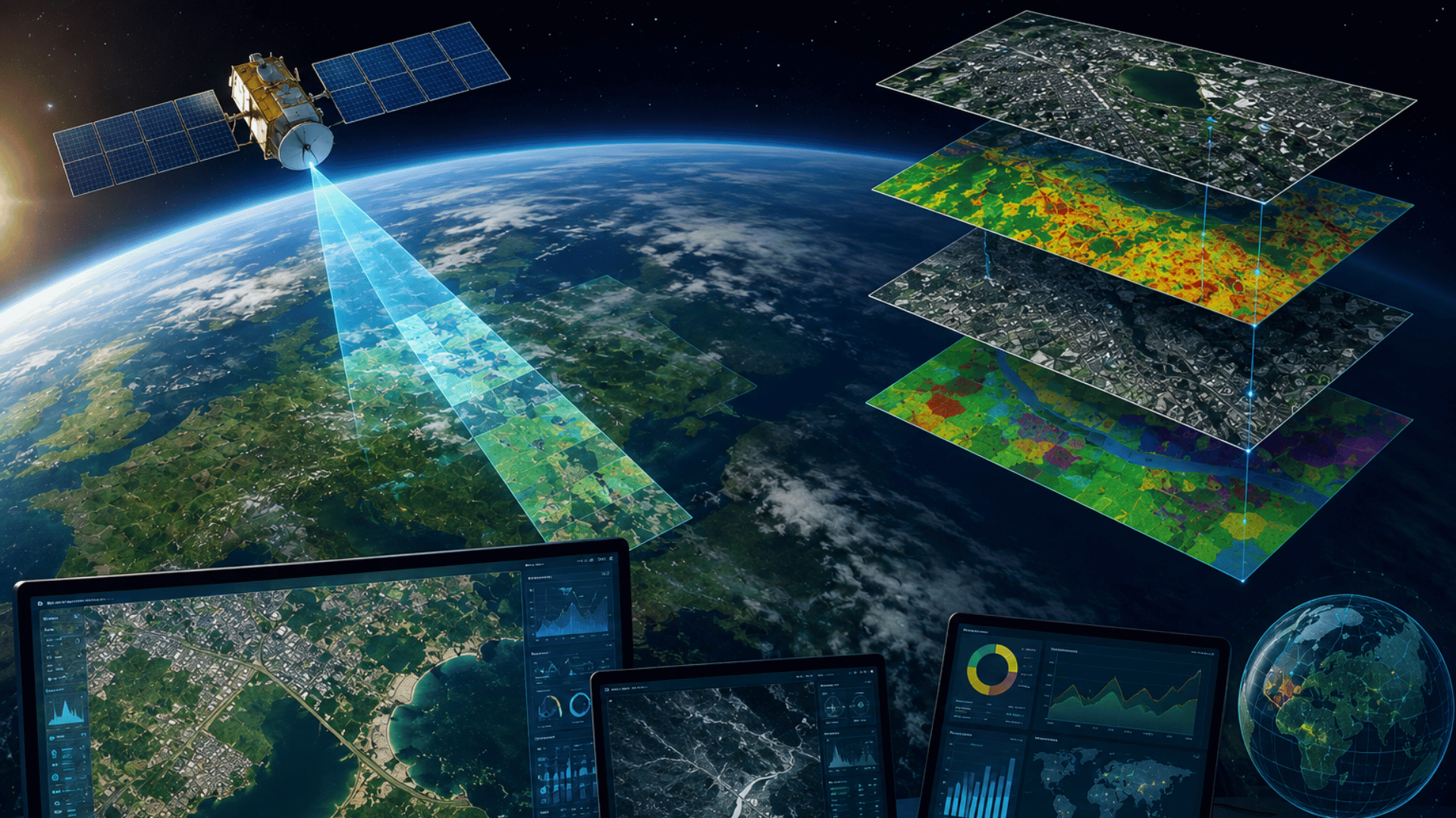
Advanced Satellite Imagery Processing for Accurate Geospatial Analysis. We help organizations extract meaningful insights from satellite imagery through advanced processing, analysis, and visualization techniques. Our solutions support monitoring of land, water, infrastructure, agriculture, and environmental conditions using high-resolution optical and SAR satellite data.
Our Approach:
We follow a structured geospatial workflow that combines satellite imagery, remote sensing techniques, and spatial analytics. This includes image correction, data processing, feature extraction, classification, and change analysis to generate reliable and actionable information.
Outcomes You Can Expect:
Our solutions provide greater visibility into geographic conditions and changes over time. This enables informed decision-making, improved planning, and more efficient management of resources, assets, and operations.
Our Process:
We start by understanding your monitoring and analysis requirements. We then acquire and process satellite data, perform geospatial analysis, and deliver results through maps, reports, and visualization platforms tailored to your needs.
Who This Is For:
This is ideal for government departments, infrastructure companies, agricultural organizations, environmental agencies, urban planning authorities, and businesses that rely on location-based intelligence.
Challenges We Solve:
Analyzing large-scale geographic areas can be difficult, time-consuming, and resource-intensive. Limited access to timely information often affects planning and operational decisions. We address these challenges by delivering accurate satellite imagery analysis that provides clear visibility into changes, patterns, and conditions across large regions.